|
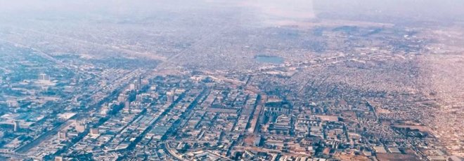
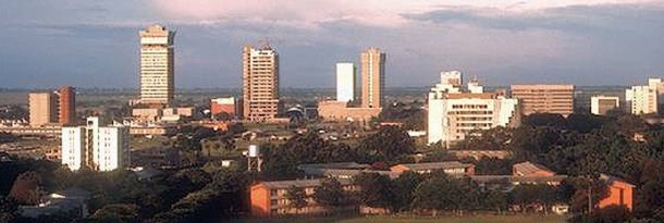
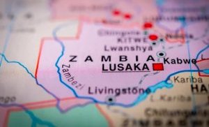
Lusaka Profile |
Lusaka Profile |
Lusaka Profile | Lusaka Profile |


|
|
Lusaka is a vibrant city with a diverse population, which includes people from various ethnic groups, religions, and cultures. The city's social life is characterized by a strong sense of community, with numerous events, festivals, and celebrations taking place throughout the year. These events provide opportunities for people to come together, share their culture, and celebrate their heritage. The daily life of Lusaka residents is characterized by a mix of traditional and modern elements. While many people still adhere to traditional customs and practices, the city's rapid growth and development have led to the adoption of modern lifestyles and values. Lusaka is also home to a vibrant street food culture, with numerous vendors selling a variety of delicious local dishes.
Lusaka offers a wealth of tourist attractions that cater to a wide range of interests. Some of the top tourist attractions in the city include: Kabwata Cultural Village: This cultural village showcases traditional Zambian art and crafts, providing visitors with an opportunity to learn about the country's rich cultural heritage. Other places worth a visit include the Soweto Market, where you can buy practically anything; the Anglican Cathedral; the Henry Tayali Gallery which displays local art; the Munda Wanga Environmental Park, a wildlife park and sanctuary, and Lilayi Lodge a wildlife ranch located within the city. Also take in, if visiting, the Zintu Community Museum and, time permitting, the Moore Pottery Factory. Lusaka is home to the State House, the official residence of the president, the National Assembly and the High Court as well as the University of Zambia. The video (above) gives a glimpse of daily life in Lusaka and gives a good look and feel of the city. |
 The economic life of Lusaka is diverse and dynamic, with a range of industries and businesses operating in the city. The primary economic sectors in Lusaka include agriculture, mining, manufacturing, and services. The city is also a major center for trade and commerce, with numerous markets, shopping centers, and businesses catering to the needs of the local population and visitors. The city's transportation system is well-developed, with a range of options available for getting around, including buses, taxis, and minibuses.


