Kampala City Map
Kampala City Map | Kampala City Map | Kampala City Map | Kampala City Map |


For more about life in Uganda including videos and photos, check out our Uganda profile pages.
More >
|
|
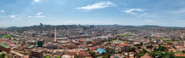
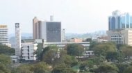
Kampala City Street MapA satellite map of Kampala, capital city of Uganda, which you can use to zoom in to explore the city and its major tourist attractions. Kampala iself, the bustling capital of Uganda, is a city of vibrant culture, historical landmarks, and a dynamic urban landscape. For anyone wishing to truly explore its depths, from first-time visitors to seasoned residents, our comprehensive map of Kampala is an indispensable tool. Far more than just lines on paper or pixels on a screen, the map provides a vital key to unlocking the secrets of this fascinating East African metropolis. The Kampala city map is essential for understanding traffic flow and planning commutes, delineating critical routes like Entebbe Road, Jinja Road, Bombo Road, and the Kampala Northern Bypass, connecting different parts of the city and beyond. Our map can also be used to identify key landmarks and attractions from the iconic Parliament of Uganda and the majestic Kasubi Royal Tombs (a UNESCO World Heritage site) to the Gaddafi National Mosque, Uganda Museum, and the historic Buganda Parliament (Bulange). For tourists, its a guide to exploring new areas, locating restaurants, hotels, shopping centers, and hidden gems off the main thoroughfares. As can be seen from the satellite map, Kampala is famously built on seven hills, and areas like the central business district (CBD), the affluent residential areas of Nakasero and Kololo, the student hub around Makerere University, and the vibrant local markets in areas like Owino can be easily identified as can public services and facilities, crucial for both visitors, as they mark the locations of hospitals, police stations, post offices, educational institutions, and government buildings. Information on bus terminals, taxi parks (for matatus), and major boda-boda (motorcycle taxi) stages can also be seen on the map of Kampala, assisting with local transport options. So, whether you're driving, taking a matatu, or walking, our map provides clarity on routes, intersections, and street names, helping you reach your destination without unnecessary detours. Additionally, given Kampala's notorious traffic congestion, the map can be invaluable for identifying alternative routes, understanding one-way systems, and planning journeys to avoid peak-hour delays. |


