|
Discover Liberia |
Discover Liberia |
Discover Liberia | Discover Liberia |
Find out all about Liberia in a series of information articles, latest daily news, videos, and images.
More >
|
 |
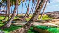
Also try to visit Blue Lake in Bomi County, named after the clear blue waters that have filled a giant crater left behind after the Liberia Mining Company closed in the late 1970s; and for those with a taste of history, the town of Harper in south east Liberia which became home to the first slaves who came back to Liberia who later founded the country. The town has many old mansions and relics reflecting the area's past; however, it was badly damaged in the Civil War, and many of the buildings were burnt out and in a terminal state of decay. Nevertheless worth a visit, not least for the beaches there with their undeveloped, natural beauty. The video (above) shows images of Liberia and gives a good look and feel of the country. |


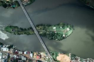
 Other places worth a visit are Providence Island (left), initially called Dozoa Island then renamed Perseverance Island reflecting the challenges faced by returning slaves. It was the site of the first successful settlement of American freedmen by the American Colonisation Society and is located approximately 500-600 meters away from the bar mouth of the Atlantic Ocean, surrounded by the Mesurado River and Stockton Creek. The island is characterised by a cement pillar and concrete floor believed to be the first concrete work in the history of the country, an ancient water well, and an old landing docking platform for incoming canoes and ships, it is also home to the oldest cotton tree in Liberia and has been proposed as a UNESCO World Heritage Site by the government of Liberia.


